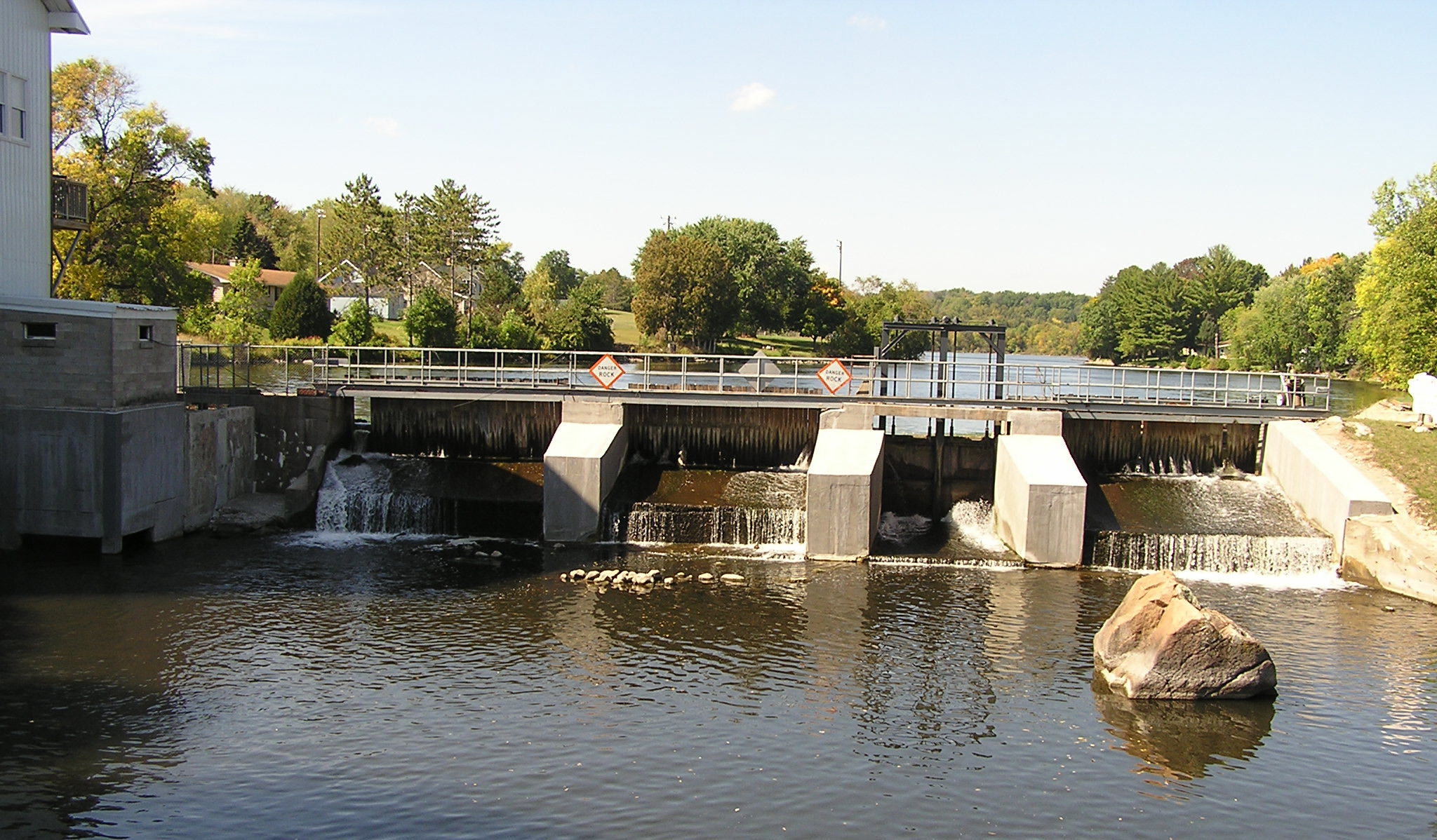
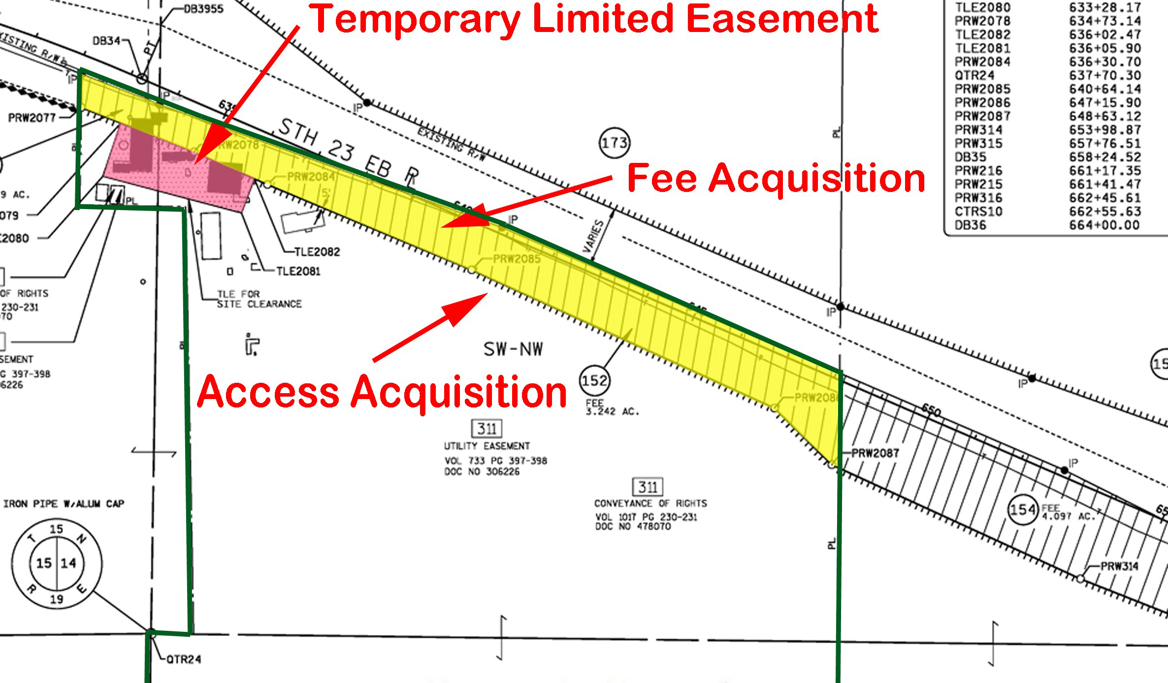
Survey
Topography
All great designs start with a quality existing topography model collected by our survey crews. Topography surveys consist of collecting information that accurately portrays the existing conditions reflected on any site. This information is used as a basis of all our designs and is the foundation for a great project. We have the latest Trimble GPS Units, Robotic Total Stations, and data collectors to generate this information in the most efficient matters.
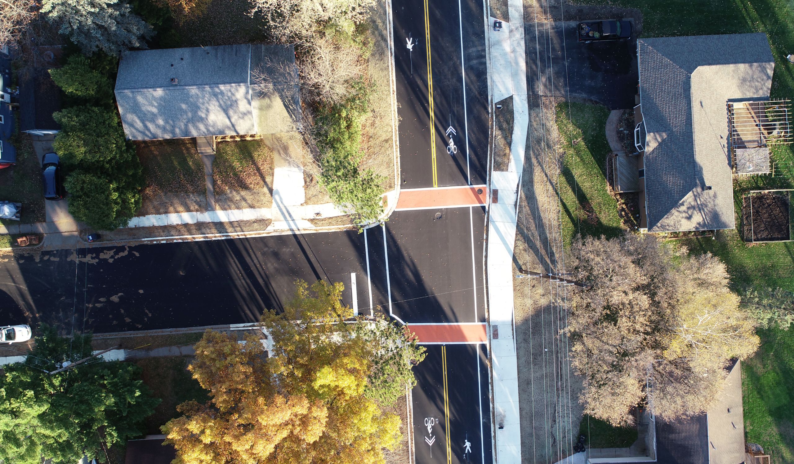
Construction
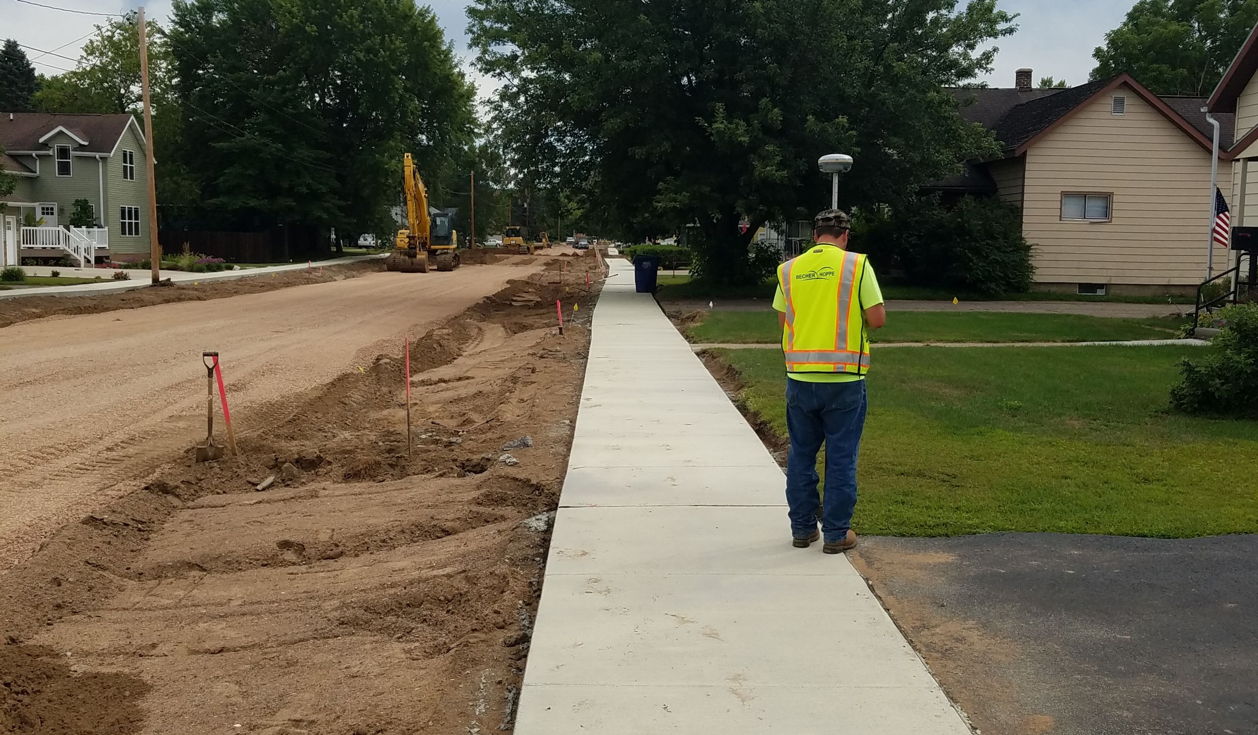
Construction staking also plays a crucial role in making a project successful. Our experienced staff works with the project representative and construction team to make sure information that was designed gets relayed accurately to the contractor. Whether its establishing subgrade elevations, working with Automated Machine Guidance (AMG), or checking bid quantities, our staff has experience with it all.
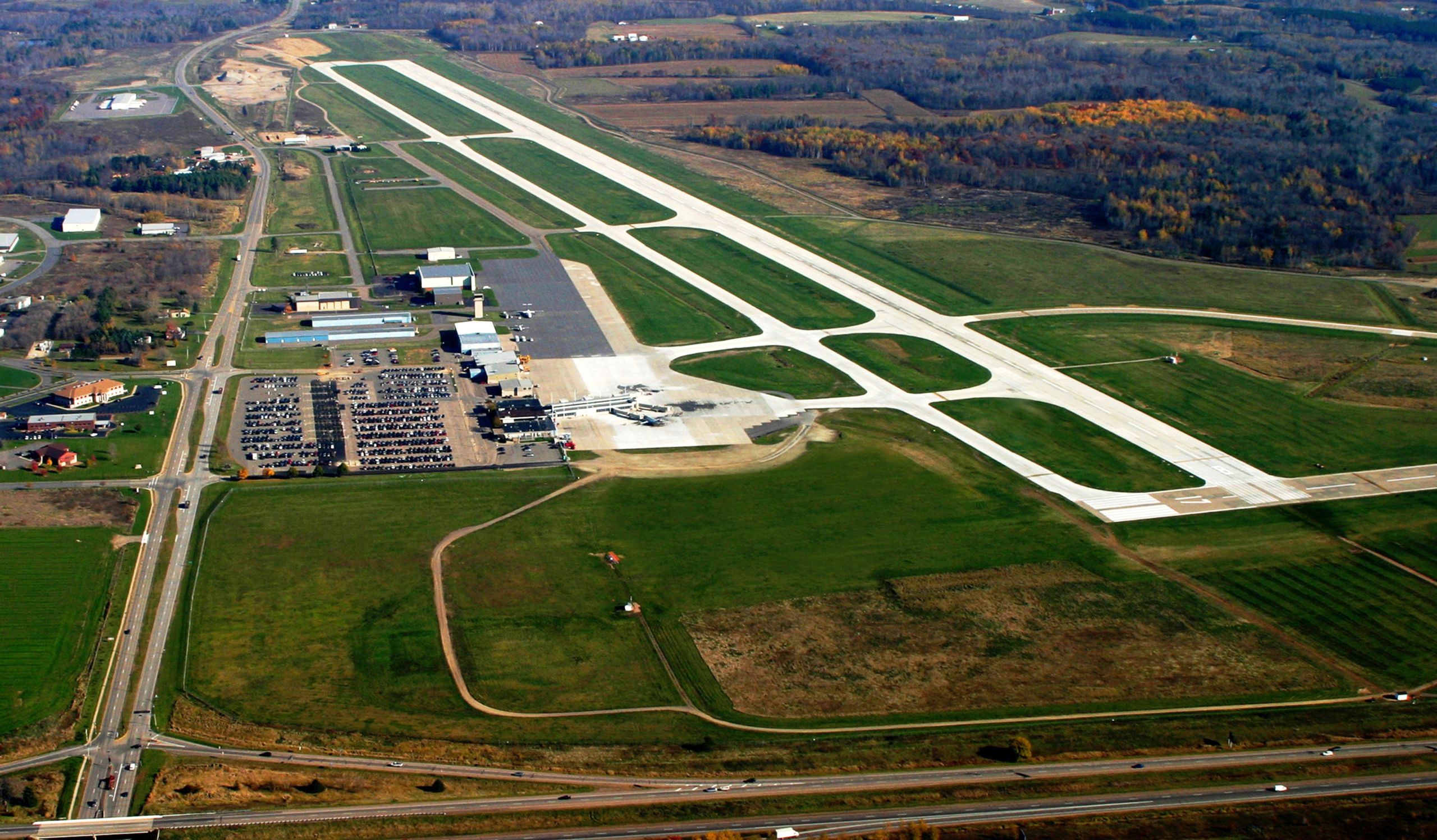
Drones
With Becher Hoppes experience around aviation and knowledge of FAA regulations, drones were a natural fit with our staff and projects. Whether we are simply collecting project photos, generating orthometric mosaics using photogrammetry, or collecting data for topography models, drones have become another great resource for our staff. They help us see things in a different way and get to areas we could not reach with traditional survey equipment. Inquire with our staff on services like aerial photos, stockpile volumes, material asset management, or general survey needs.
Our Services
We offer full-service solutions across a wide array of projects.
Clients know that Becher Hoppe will confidently and comprehensively undertake even the most complex efforts, applying top design, technical and project management capabilities.
Improving Communities
Since 1954